
Gauri-Shankar was once thought to be the highest mountain in the world. This peak of 7134m, in what is known as the Rolwaling Himal chain, is actually 1714m lower than Everest/Chomolongma/ Sagarmatha. It lies on the border between Nepal's Dolakha District and Tibet at 27°57'57" North latitude, and 860 20′ 07" East longitude.
The mountain consists of two peaks, Gauri and Shankar, less than two kilometres apart. Shankar is the main peak, Gauri (7010m) the secondary peak. The ridge that connects them is above 6500m at its lowest. The two peaks resemble a seated couple and have been given the names of the Hindu divinity Shiva, or Shankar, and his consort Parvati, or Gauri.
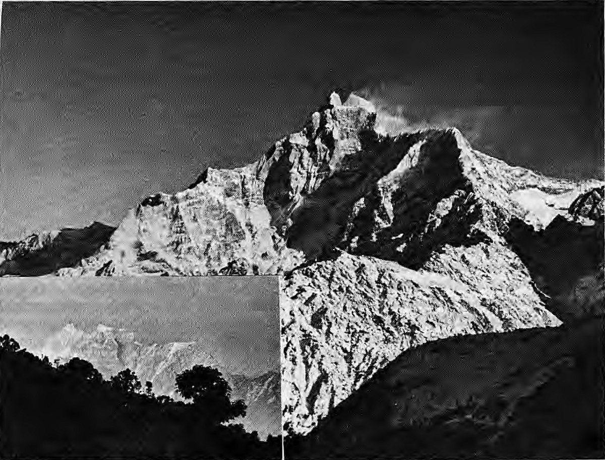
Gauri-Shankar is an interesting massif because even a slight variation in the viewer's position distinctly changes the mountain's shape. Flying west to east, travelers can watch Gauri-Shanker metamorphose from a broad massif to a knife-edge with striking cornices on the top. Even a four-hour walk from Tingsang La to the Bhagwati temple at Kalinchowk in Dolakha brings a significant change in perspective.
Steep cliffs and ice-faces drop down from all sides of the mountain. To the north-east, the Menlung Glacier slants toward's Tibet's Menlungtse peak. To the south-east, there is a sharp and distinctive drop to the village of Beding, just seven kilometres away. To the south, the mountain drops down to the gorge of the Rolwaling Chu. To Gauri-Shankar's west and south-west lies the valley of the Bhote Kosi, a major tributary of the Tama Kosi. This valley continues into Tibet, to the mountain's north and north-west side, where it is known as the Rongshar Valley. To the west lie other peaks of Rolwaling Himal, Tsoboje and Tengi, as well as the 5755m high Trashi Labtsa pass that leads into the Khumbu region.